AWC GeoMapping Server
GeoTopo30 AFRICA - (Topography)
DEMS and SID Format
|
|
|
|
|
|
Choose a data set to download:
DEMS
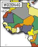
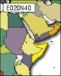
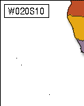
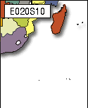
W20N40, E20N40, W20S10, E20S10
SID Format (all 4 regions)
USGS Digital Elevation Models (DEMs) are grids of elevation values that are arranged in series of south-north profiles. Like other USGS data, DEMs were produced originally in "tiles" whose spatial extents correspond to USGS topographic quadrangles. Large scale (7.5-minute and 15-minute), intermediate scale (30 minute), and small scale (1 degree) series were produced for the entire U.S. The resolution of a DEM is a function of the east-west spacing of the profiles and the south-north spacing of elevation points within each profile. GTOPO30 is a digital elevation model that extends over the world's land surfaces (but not under the oceans). GTOPO30 consists of more than 2.5 million elevation values, which are regularly spaced at 30 seconds of latitude and longitude. At the equator, the resolution of GTOPO30 is approximately 0.925 kilometers -- four times greater than ETOPO2. Vertical positions are specified in to the nearest meter, and horizontal positions are specified in geographic coordinates. GTOPO30 data are distributed as tiles, most of which are 50° in latitude by 40° in longitude.
For more information about GTOPO30, or to acquire the data, visit the USGS EROS Data Center GTOPO30 site at http://edc.usgs.gov/products/elevation/gtopo30/gtopo30.html